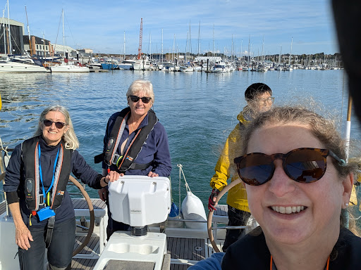

Our 40 hour Yachtmaster Ocean theory course runs over five evenings, and is designed for skippers who want the qualification, knowledge, and skills you need to skipper a yacht using astro-navigation – the use of the sextant and worldwide meteorology.
But what are the specific details of the RYA Yachtmaster Ocean syllabus, and what can you expect to be doing daily?
The syllabus sections are:
The earth and the celestial sphere
- Definition of observer’s zenith and position of a heavenly body in terms of latitude, longitude, GHA and declination
- Right angle relationships, latitude and co-late, declination and polar distance
- Relationship between GHA, longitude and LHA
- Tabulation of declination in nautical almanac
- Rate of increase of hour angle with time
The PZX triangle
- The tabulated components of the triangle, LHA, co-lat and polar distance
- The calculable components, zenith distance and azimuth
- Relationship between zenith distance and altitude
- Introduction to the tabular method of solution in the Air Navigation Tables and the basic sight form
- The use of calculators for the solution of the PZX triangle
The sextant
- Practical guide to the use and care of a sextant at sea
- Conversion of sextant altitude to true altitude
- Application of dip, index error and refraction
- Correction of side error, perpendicularity, index error and collimation error
Measurement of time
- Definition of, and relationship between, UT, LMT, standard time and zone time
- Rating of chronometers and watches
Meridian altitudes
- Forecasting time of meridian altitude
- Reduction of meridian altitude sights
Sun, star and other sights
- Reduction and plotting of sun sights using Air Navigation Tables
- Awareness of use of calculator for sight reduction
- The plotting of a sun-run-sun meridian altitude
- Awareness of the reduction and plotting of sights obtained from stars, moon and planets
Compass checking
- Use of amplitude and azimuth tables systems and/or calculator
- Satellite Navigation Systems
- Principles and limitations of use of all systems
Great circle sailing
- Comparison of rhumb lines and great circles
- Vertices and composite tracks
- The computation of a series of rhumb lines approximating to a great circle by use of gnomonic and Mercator projections
Meteorology
- General pressure distribution and prevailing winds over the oceans of the world
- Tropical revolving storms, seasonal occurrence and forecasting by observation
Passage planning
Publications available to assist with planning of long passages (routeing charts, ocean passages of the world and other publications)
Preparation for ocean passage including survival equipment, victualling, water and fuel management, chafe protection, spares and maintenance
Passage making
- Navigational routine
- Watch-keeping
- Crew management
Communications
- Satellite and terrestrial systems
- Weather information
You might also like: Day Skipper Syllabus