Using Trafalgar Day as his inspiration regular blogger and skipper of the Maybird, Darryl Hughes, has made some interesting observations about how navigation techniques have changed over the past 200 years…
Ahoy Shipmates,

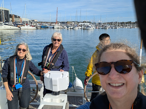
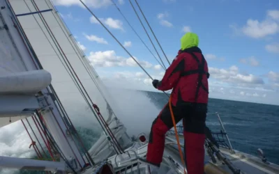
Maybird
On the 21st of October 1805 the Royal Navy clashed with the Combined French and Spanish fleets at Cape Trafalgar,off the coast of Spain.
The ensuing battle had huge ramifications for Napoleon’s France and the future of the British Empire.
As far as we Dayskipper’s are concerned it is interesting to note that the British, French and Spanish navigators had access to Mercator charts – although not as accurately surveyed as we would be used to.
They navigated in large part by LOG, LEAD and LOOKOUT and had access to Harrison’s marine chronometers to let them use their sextants to calculate longitude.
They were well able to use their sextants to calculate latitude for the previous 100 plus years.
We will be covering dead reckoning, tidal streams and estimated positions (EP’s) tonight and it is interesting to reflect that these techniques were in use 208 years ago today.
They had no worry about GPS batteries loosing charge or ensuring that the WGS 84 Datum on the chart was the same datum that their GPS was set too!
Best regards,
Darryl
The onshore RYA theory courses Darryl mentions, are run from offices at the end of the working day and include the Day Skipper Theory Course and Yachtmaster Theory Course